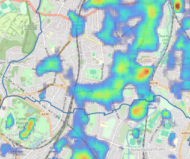
Urban heat index mapping
Spatial heat intelligence designed to show where temperatures concentrate across streets, buildings and neighbourhoods.
Home
We provide high-resolution urban heat data to local authorities, public sector bodies and businesses. The Urban Heat Index helps your organisation understand, map, and respond to urban heat risk.
How we can help
Spatial heat intelligence designed to show where temperatures concentrate across streets, buildings and neighbourhoods.
Structured outputs to help with planning, reporting and decision making, with a focus on clear interpretation rather than raw data alone.
Heat data structured and summarised by specific administrative zones (such as local authority districts, wards, or LSOAs) for seamless integration into your existing GIS platforms.
Historical and seasonal data that allows you to track temperature variations over time, compare different years, and accurately monitor long-term environmental trends.
Why is heat data important
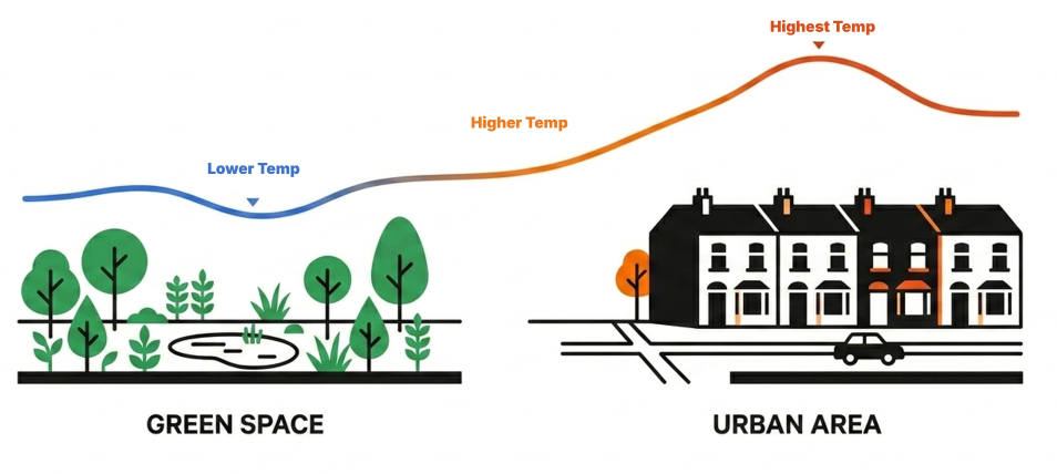
Built-up areas absorb and retain more heat than nearby green or rural areas. This creates higher temperatures at street level, bringing risks for health, buildings, and transport.
Hot weather is becoming more common across the globe. Local authorities need better local evidence to identify heat risk, target action and make places safer during heatwaves.
Our Clients
We are working with a range of local authorities to help them better understand and mitigate urban heat risks.





“Environmental justice is at the heart of H&F’s approach. This data will be used alongside residents’ lived experiences and local knowledge to ensure that interventions are both evidence-based and community-informed.”
— Charlie Bone, Natural Environment Lead, London Borough of Hammersmith & Fulham
“This data set helps us to understand where heat is affecting our communities the most and allows us to better plan and mitigate for these impacts, particularly for more vulnerable people in our communities such as older people, young children, and those with existing health conditions.”
— Charlotte Ball, Public Health Manager (Healthy Places), Bedford Borough Council